About the Organisation
Virtual City Systems (VCS) states that it has supported cities, municipalities and infrastructure operators since 2005 in making complex interdependencies visible and usable. The text says the organisation was founded in Chemnitz in 2005 and describes itself as among the leading providers of Digital Twins in urban planning.
Mission and Approach
- The organisation aims to design data and processes to be as inclusive as possible.
- It presents digital twins as a means of enabling decisions for future-oriented development.
- Its stated drivers are technical depth, a passion for innovation, and the conviction that good urban planning rests on reliable, open data.
3D City Models
The text says a growing number of decision makers see 3D city models becoming an indispensable central information system that virtually anyone can access. It describes such models as offering high-quality information, solid spatial visibility and a diverse range of uses.
Digital Urban Planning
According to the text, urban planning involves give-and-take regarding the public interest, and interested citizens need to understand plans as they take shape. The organisation describes presenting project backgrounds, challenges and visions in a comprehensible way.
Urban Simulation
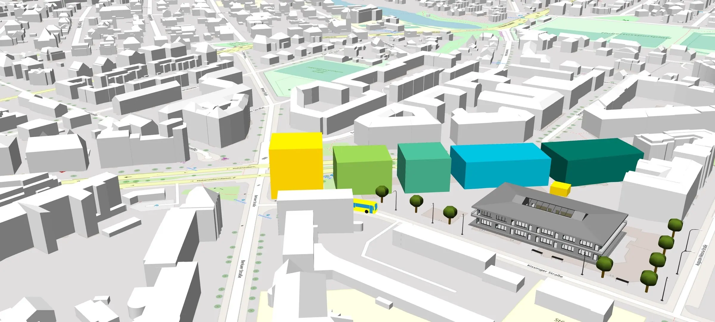
The text describes a solution that simulates the spread of blast waves and shrapnel from unexploded World War II aerial bombs, factoring in surrounding structures. It states the solution can incorporate further objects, such as temporary container walls.
Recent Releases and Customers
- A blog post dated 22 September 2026 addresses cross-municipal regional Digital Twins.
- A VC Story release dated 9 July 2026 introduces a graphical editor for creating map stories.
- A BuildingReconstruction (BRec) 2026 release dated 2 September 2026 brings editing tools and automation features.
- Helsinki's 3D+ project manager and the State Office GeoInformation Bremen are quoted as customers, with Bremen's "Seeing and Understanding Bremen" concept linking its digital twin with geospatial data.
Why It Matters for Urban Policy
In its own terms, the organisation presents digital twins as a way for cities, municipalities and infrastructure operators to make complex challenges manageable, to support inclusive design, and to inform decisions on future urban development.